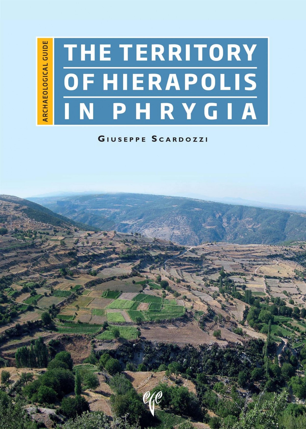
The aim of the archaeological guide to the territory of Hierapolis in Phrygia (Pamukkale) is to present the results of the research conducted by the Italian Archaeological Mission since 2005. This research has sought to reconstruct the pattern of settlement in this area from Prehistory to the Byzantine epoch and to draw an archaeological map. The investigated area includes the northern side of the valley of the river Lykos (the current Çürüksu), where Hierapolis was located, and the plateau of Uzunpınar, delimited to the north by the course of the river Maeander. The research has also covered part of the nearby plateau of Çal, which might have fallen within the territory administered by Hierapolis, at least during the mid-Imperial period. After presenting the main archaeological evidence regarding the period before the foundation of Hierapolis, chronologically corresponding to the period from the Bronze Age to the Phrygian epoch, the volume provides a detailed description of the organisation of the chora of Hierapolis from the Hellenistic to the Byzantine periods, including the extensive quarries (of marble, travertine, alabaster and polychromatic breccia), the aqueducts that supplied the city, the ancient road network, the sacred areas, and the farms and villages with their relative necropolises.
314 s, renkli figürler, İngilizce.
Introduction
The geomorphological context
History of studies and research
The territory of Hierapolis: topography and boundaries
Historic timeline of the territory of Hierapolis
Before Hierapolis
- The hill of Höyük Tepe near Akköy (Laura Castrianni)
- The settlement of Can Pınar (Uzunpınar (Laura Castrianni)
- The tumulus of Alaburun
The chora of Hierapolis in the valley of the Lykos
- The quarries
- The marble quarries (Ilaria Miccoli)
- The quarries of travertine and alabaster (Immacolata Ditaranto)
- The quarries of polychromatic breccia (Giacomo Di Giacomo)
- A relief in the rock face of a breccia and alabaster quarry
- The aqueducts
- The travertine channels
- The road network
- The bridge of Ahmetli
- The funerary tumuli of Çukurbağ-Oküzini
- The farms
- The baths of Karahayıt
- The temple of Develi
- The settlements of the chora
- Küçükdereköy
- Kocagözler and Asar Tepe
- Eymir
- The monastery of Beyinli
- The alabaster and marble quarries of Gölemezli
- The cave of Ballık Dere
The plateau of Uzunpınar
- Thiounta
- The village of Boyallı
- The village of Gavurdamıarkası Tepe
- The sacred areas
- Apollo Karios
- The Motaleis and “Motala”
- Minor settlements and farms
- The necropolises and “isolated” tombs
- The regular division of agricultural land in the northern sector
- The road network
- The bridge of Cindere
The plateau of Çal
- The city of Mossyna
- The villages of Salouda and Melokome
- The village of Kagyetta
- The village of Atyochorion
- The sanctuary of Apollo Helios Lairbenós
- The road network
Glossary
Bibliography
Graphic and photographic references


